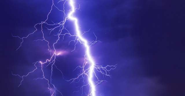
Alton, Mo. – Alton, Missouri residents have experienced a bit of rain lately. As a matter of fact, some areas received 5 inches or more of rain in August, which is considered one of the more dryer months. Then, September began with additional storms marching through the area, cutting electricity to many households.
Where Do These Storms Come From?
According to NOAA, these storms stem from a stationary front. Bringing intermittent rain, fog, clouds, and storms, this front is expected to pass by Thursday evening. Tuesday morning’s storms came from the south, from Arkansas. The lightening dropped branches which cut power to many homes for several hours. Fortunately, Howell Oregon Electric sent workers out to discover the problem, and electricity was restored within a few hours.
Where Is The Brunt Of The Storms?
These storms are situated primarily south of interstate 44, even more specific, south of Highway 60. [1]Minor flooding could be an issue for low lying areas. These flooding concerns will continue through Wednesday and even until Thursday before the front and the storms finally move on. Showers and thunderstorms will be prevalent Wednesday into Thursday.
What Follows The Storms?
After the front and the storms pass, residents can expect cooler and drier weather.
Notes:
- ^https://forecast.weather.gov/showsigwx.php?warnzone=MOZ106&warncounty=MOC149&firewxzone=MOZ106&local_place1=Alton%20MO&product1=Hazardous+Weather+Outlook&lat=36.6922&lon=-91.4008#.X06nZMhKiM8 (go back ↩)

